


Алжир
Алжир
Алжир
ГРНТИ 37.15 Геомагнетизм и высокие слои атмосферы
ГРНТИ 37.25 Океанология
ГРНТИ 37.31 Физика Земли
ГРНТИ 38.01 Общие вопросы геологии
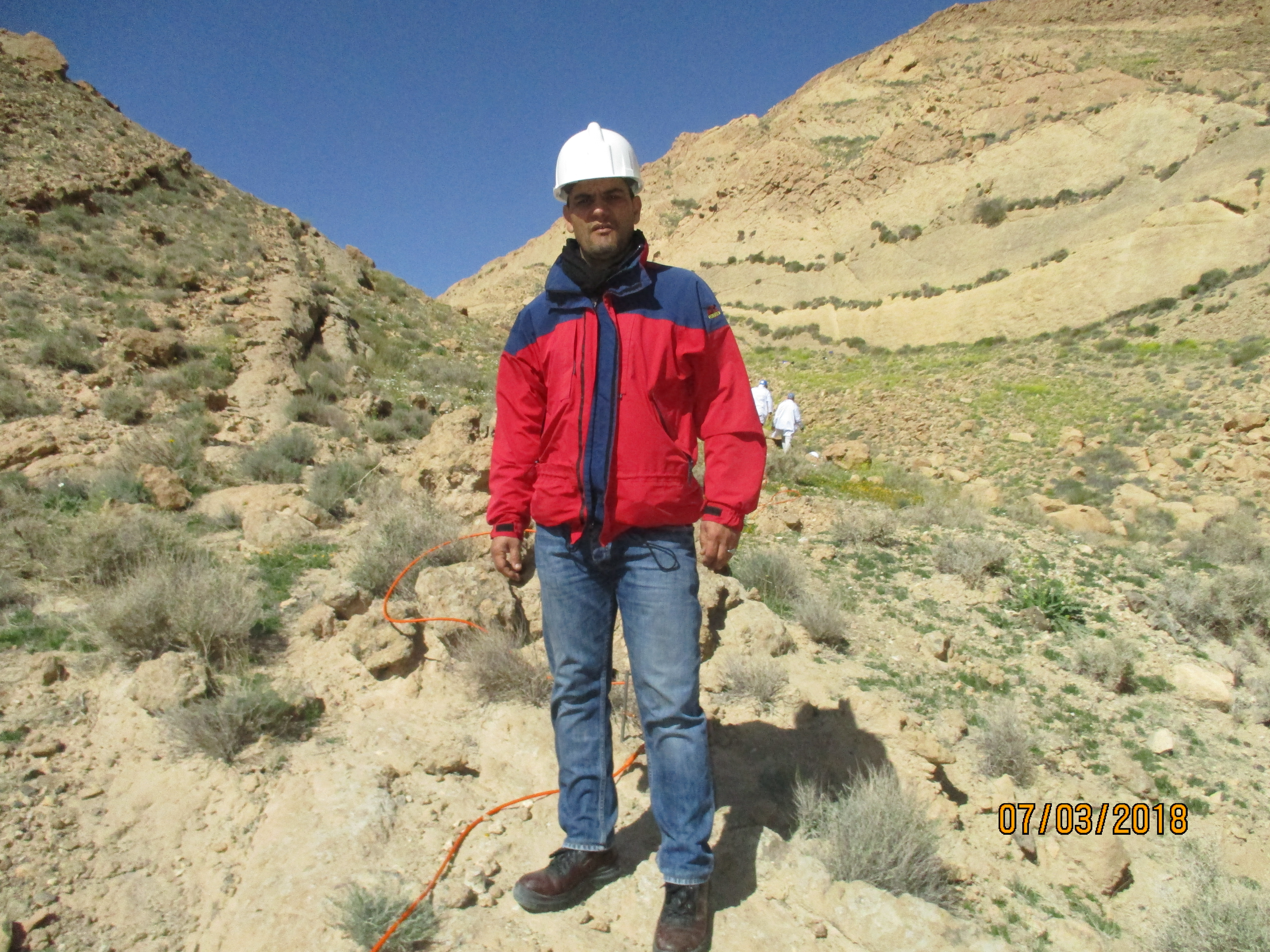
The enormous development of the technology of raw material extraction drives the economic companies and technicians to make efforts to meet the needs of consumers. These efforts directly influence the nature, creating voids or cavities in the soil and subsoil inducing a structure disturbance and subsequently giving damages. A landslide of the Kef Essenoun phosphate deposit occurred in 2007 when large mass of rocks detached caused a number of undesired and negative effects. To analyze this deformation, a two-dimensional (2D) electrical tomography with the Wenner and Schlumberger device was deployed, using equipment of Syscal Pro 48 type for the implementation of an electrical profile, through a transect length of 140m with electrode spacing of 3m and a depth of investigation that measures 32m to the center. Data processing was performed using RES2DINV software and the results allowed mapping visible cracks with a high resistivity value of 890Ωm as well as low values of 6Ωm for marls and clay. In addition, to predict the extent of cracks (slip) and geological formations. These phenomena have been evidenced due to tectonic (rough terrain) on one side and sliding on the other.
landslide, Kef Essenoun, electrical tomography, resistivity, crack
1. Aigbogun, C. O., D. A. Babaiwa, and B. J. O. Mujakperuo (2020), Application of 2-dimensional tomography to investigate subsurface lithology in Auchi polytechnic, auchi, Edo state, nigeria, Nigerian Journal of Technology, 39(3), 905-910, doihttps://doi.org/10.4314/njt.v39i3.32.
2. AL-Hameedawi, M. M., J. M. Thabit, and F. H. AL-Menshed (2021), Some notes about three types of inhomogene- ity and their effect on the electrical resistivity tomography data, Journal of Applied Geophysics, 191, 104,360, doihttps://doi.org/10.1016/j.jappgeo.2021.104360.
3. Arjwech, R., and M. Everett (2015), Application of 2D electrical resistivity tomography to engineering projects: Three case studies, Songklanakarin Journal of Science and Technology, 37(6), 675-681.
4. Bellanova, J., G. Calamita, A. Giocoli, R. Luongo, A. Perrone, V. Lapenna, and S. Piscitelli (2016), Electrical Resistiv- ity Tomography surveys for the geoelectric characterization of the Montaguto landslide (southern Italy), Natural Hazards and Earth System Sciences Discussions, pp. 1-17, doihttps://doi.org/10.5194/nhess-2016-28, (preprint).
5. Berge, M. A., and M. G. Drahor (2009), Optimum Electrical Resistivity Tomography (OERT) approach us- ing combination of different arrays in archaeological investigations, ArcheoSciences, (33 (suppl.)), 263-265, doihttps://doi.org/10.4000/archeosciences.1667.
6. Bichler, A., P. Bobrowsky, M. Best, M. Douma, J. Hunter, T. Calvert, and R. Burns (2004), Three-dimensional map- ping of a landslide using a multi-geophysical approach: the Quesnel Forks landslide, Landslides, 1(1), 29-40, doihttps://doi.org/10.1007/s10346-003-0008-7.
7. Borecka, A., J. Herzig, and M. Durjasz-Rybacka (2015), Ground penetrating radar investigations of landslides: a case study in a landslide in Radziszów, Studia Geotechnica et Mechanica, 37(3), 11-18, doihttps://doi.org/10.1515/sgem-2015- 0028.
8. Bouaziz, N., and B. Melbouci (2015), The supply of electrical tomography in the study of the landslides in Great Kabylia, Algeria, in Rencontres Universitaires de Génie Civil, pp. 1-8, HAL, Bayonne, France.
9. Boubaya, D., K. Hebbache, L. Gouaidia, F. Baali, C. Fehdi, and O. Guefaifia (2017), 2D Electrical Resistivity Tomog- raphy Of An Active Landslide: A Case Study From Ain Torki, Algeria, in 9th Congress of the Balkan Geophysical Society, pp. 1-5, EAGE Publications BV, doihttps://doi.org/10.3997/2214-4609.201702568.
10. Dassamiour, M., H. Mezghache, and B. Elouadi (2013), The use of three physico-chemical methods in the study of the organic matter associated with the sedimentary phosphorites in Djebel Onk Basin, Algeria, Arabian Journal of Geosciences, 6(2), 309-319, doihttps://doi.org/10.1007/s12517-011-0381-9. EDN: https://elibrary.ru/VCOXNI
11. Dassamiour, M., H. Mezghache, O. Raji, and J.-L. Bodinier (2021), Depositional environment of the Kef Essennoun phosphorites (northeastern Algeria) as revealed by P2O5 modeling and sedimentary data, Arabian Journal of Geosciences, 14(12), 1-17, doihttps://doi.org/10.1007/s12517-021-07400-z. EDN: https://elibrary.ru/PMXNLS
12. Fehdi, C., F. Baali, D. Boubaya, and A. Rouabhia (2011), Detection of sinkholes using 2D electrical resis- tivity imaging in the Cheria Basin (north-east of Algeria), Arabian Journal of Geosciences, 4(1-2), 181-187, doihttps://doi.org/10.1007/s12517-009-0117-2.
13. Fredj, M., A. Hafsaoui, Y. Khadri, B. Riadh, R. Nakache, A. Saadoun, and K. Menacer (2017), Study of bench sta- bility in the phosphate mine (Algeria), in Engineering Geology and Geological Engineering for Sustainable Use of the Earth’s Resources, Urbanization and Infrastructure Protection from Geohazards, pp. 101-114, Springer International Publishing, Cham, doihttps://doi.org/10.1007/978-3-319-61648-3_7.
14. Fredj, M., A. Hafsaoui, Y. Khadri, and R. Boukarm (2018), Influence of the failure surface choice on the safety factor value during slope stability studies, Naukovyi Visnyk Natsionalnoho Hirnychoho Universytetu, (3), 30-35, doihttps://doi.org/10.29202/nvngu/2018-3/3.
15. Fredj, M., A. Hafsaoui, R. Boukarm, R. Nakache, and A. Saadoun (2019), Numerical Modelling of Slope Sta- bility in Open Pit Phosphate Mines, Algeria: A Comparative Study, in World Multidisciplinary Earth Sciences Symposium (WMESS 2018) 3-7 September 2018, vol. 221, p. 012020, IOP Publishing, Prague, Czech Republic, doihttps://doi.org/10.1088/1755-1315/221/1/012020.
16. Fredj, M., A. Hafsaoui, H. Riheb, R. Boukarm, and A. Saadoun (2020), Back-analysis study on slope insta- bility in an open pit mine (Algeria), Naukovyi Visnyk Natsionalnoho Hirnychoho Universytetu, (2), 24-29, doihttps://doi.org/10.33271/nvngu/2020-2/024.
17. Gadri, L., R. Hadji, F. Zahri, Z. Benghazi, A. Boumezbeur, B. M. Laid, and K. Raïs (2015), The quarries edges stability in opencast mines: a case study of the Jebel Onk phosphate mine, NE Algeria, Arabian Journal of Geosciences, 8(11), 8987-8997, doihttps://doi.org/10.1007/s12517-015-1887-3. EDN: https://elibrary.ru/YLXOYI
18. Gaudio, V. D., J. Wasowski, P. Pierri, U. Mascia, and G. Calcagnile (2000), Gravimetric study of a retrogressive landslide in southern Italy, Surveys in Geophysics, 21(4), 391-406, doihttps://doi.org/10.1023/a:1006793009054. EDN: https://elibrary.ru/YGATCS
19. Hack, R. (2000), Geophysics for slope stability, Surveys in Geophysics, 21(4), 423-448, doihttps://doi.org/10.1023/a:1006797126800. EDN: https://elibrary.ru/YECSUO
20. Hermawan, O. R., and D. P. E. Putra (2016), The effectiveness of wenner-schlumberger and dipole-dipole array of 2d geoelectrical survey to detect the occurring of groundwater in the gunung kidul karst aquifer system, Yogyakarta, Indonesia, Journal of Applied Geology, 1(2), 71-81.
21. Hussain, Y., M. Cardenas-Soto, S. Martino, C. Moreira, W. Borges, O. Hamza, R. Prado, R. Uagoda, J. Rodríguez- Rebolledo, R. Silva, and H. Martinez-Carvajal (2019), Multiple geophysical techniques for investigation and monitoring of Sobradinho landslide, Brazil, Sustainability, 11(23), 6672, doihttps://doi.org/10.3390/su11236672.
22. Israil, M., and A. K. Pachauri (2003), Geophysical characterization of a landslide site in the Himalayan foothill region, Journal of Asian Earth Sciences, 22(3), 253-263, doihttps://doi.org/10.1016/s1367-9120(03)00063-4. EDN: https://elibrary.ru/PUDTRZ
23. Jiang, F., L. Dong, and Q. Dai (2020), Electrical resistivity inversion based on a hybrid CCSFLA-MSVR method, Neural Processing Letters, 51(3), 2871-2890, doihttps://doi.org/10.1007/s11063-020-10229-4. EDN: https://elibrary.ru/VUWHUR
24. Jomard, H., T. Lebourg, Y. Guglielmi, and E. Tric (2010), Electrical imaging of sliding geometry and fluids associ- ated with a deep seated landslide (La Clapière, France), Earth Surface Processes and Landforms, 35(5), 588-599, doihttps://doi.org/10.1002/esp.1941.
25. Jongmans, D., and S. Garambois (2007), Geophysical investigation of landslides: A review, Bulletin de la Société Géologique de France, 178(2), 101-112, doihttps://doi.org/10.2113/gssgfbull.178.2.101. EDN: https://elibrary.ru/ZAAYFP
26. Kassatkine, Y., A. Yahyaoui, and S. Chatilov (1980), The works of prospecting and assessment on phosphate executed in 1976-1978 in the mining district of Djebel Onk, SONAREM (Société Nationale de Recherche et d’Exploration Minière) Internal report, 2, 140.
27. Loke, M. H. (1999), Electrical imaging surveys for environmental and engineering studies, vol. 2, 70 pp., Apractical Guide to 2D and Surveys, Austin.
28. Marescot, L. (2006), An introduction to electrical imaging, Bulletins des séances de la Société vaudoise des sciences naturelles, 90(1), 23-40.
29. Mezam, M. C., and M. A. B. Assed (2017), Etude Retro-analytique du glissement du bord Nord de la mine a ciel ouvert de Kef Essenoun (Djebel Onk), Algerie, Bulletin of Engineering Geology and the Environment, 76(4), 1307- 1320, doihttps://doi.org/10.1007/s10064-016-0988-x.
30. Mita, M., M. Glazer, R. Kaczmarzyk, M. Dąbrowski, and K. Mita (2018), Case study of electrical resistivity tomog- raphy measurements used in landslides investigation, Southern Poland, Contemporary Trends in Geoscience, 7(1), 110-126, doihttps://doi.org/10.2478/ctg-2018-0007.
31. Nouioua, I., C. Fehdi, D. Boubaya, B. Serhane, and A. Djellali (2015), Mapping underground cracks using 2D elec- trical resistivity tomography: the case of the landslide of Kef Essenoun phosphate deposit, Djebel Onk (northeast of Algeria), Arabian Journal of Geosciences, 8(10), 7731-7738, doihttps://doi.org/10.1007/s12517-014-1769-0.
32. Pasierb, B., M. Grodecki, and R. Gwóźdź (2019), Geophysical and geotechnical approach to a landslide stability assessment: a case study, Acta Geophysica, 67(6), 1823-1834, doihttps://doi.org/10.1007/s11600-019-00338-7. EDN: https://elibrary.ru/VPRZNL
33. Perrone, A., G. Zeni, S. Piscitelli, A. Pepe, A. Loperte, V. Lapenna, and R. Lanari (2006), Joint analysis of SAR inter- ferometry and electrical resistivity tomography surveys for investigating ground deformation: the case-study of Satriano di Lucania (Potenza, Italy), Engineering Geology, 88(3-4), 260-273, doihttps://doi.org/10.1016/j.enggeo.2006.09.016.
34. Perrone, A., S. Piscitelli, and V. Lapenna (2012), Electrical resistivity tomographies for landslide monitoring: a review, pp. 129-134, Geologische Bundesanstalt, Wien.
35. Perrone, A., V. Lapenna, and S. Piscitelli (2014), Electrical resistivity tomography technique for landslide investi- gation: A review, Earth-Science Reviews, 135, 65-82, doihttps://doi.org/10.1016/j.earscirev.2014.04.002.
36. Rais, K., M. Kara, L. Gadri, R. Hadji, and L. Khochmen (2017), Original approach for the drilling process opti- mization in open cast mines; case study of Kef Essenoun open pit mine northeast of Algeria, Mining Science, 24, 147-159, doihttps://doi.org/10.5277/MSC172409.
37. Sastry, R. G., S. K. Mondal, and A. K. Pachauri (2006), 2D electrical resistivity tomography of a landslide in Garhwal Himalaya, in 6th International Conference & Exposition on Petroleum Geophysics “Kolkata 2006”, pp. 997-1001, SPG, Kolkata.
38. Sigdel, A., and R. K. Adhikari (2020), Application of Electrical Resistivity Tomography (ERT) survey for investi- gation of the landslide: a case study from Taprang landslide, Kaski district, west-central Nepal, Journal of Nepal Geological Society, 60, 103-115, doihttps://doi.org/10.3126/jngs.v60i0.31261.
